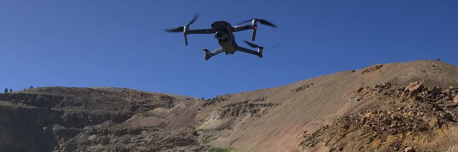
Surveying & Mapping
Efficiently survey mountainous terrain and water bodies using drone technology alongside traditional methods in a fraction of the time it takes to manually survey on the ground.
Data acquisition capabilities: RGB, LiDAR, Thermal, Multispectral, Hyperspectral
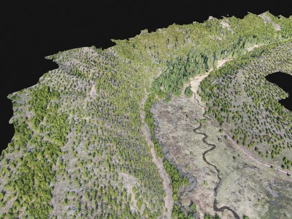
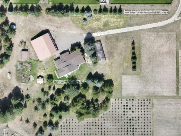
GIS Analysis & Modelling
Visualize and analyze your data using software like ArcGIS and Pix4D. We deliver:
- Elevation models
- Thermal maps
- LiDAR point clouds
- and more!
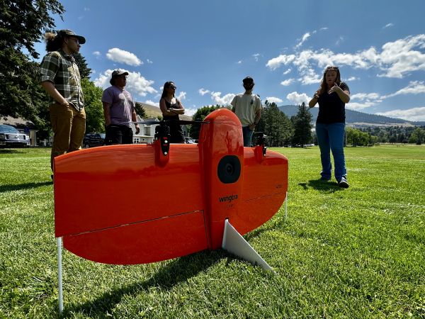
Rentals
Need a drone and sensor for your project? Browse our extensive list of equipment and contact us about renting them!