Projects
Wildlife Studies

The Aerial Autonomous Systems Office (AASO) collaborated with The Nature Conservancy and the Matador Ranch in eastern Montana to improve sage grouse population counts and gender differentiation, which is crucial for monitoring this declining species. We used thermal and night vision imagery from drones and applied machine learning algorithms to automatically detect grouse from these aerial images, aiming for more efficient and accurate population assessments.

Wildfire Management
We work with UM's FireCenter to increase fire management awareness by developing algorithms that distinguish fire zones from aerial imagery, and determine effects of fire over time.

 In addition, we used RGB, Short Wave Infrared, and Mid Wave Infrared imagery of active wildfires to create training datasets which we then used to classify images such as the one on the right where orange represents actively burning areas, red depicts intense heat, yellow is smoldering, and black shows the burnt area.
Agriculture Studies
We partnered with the Montana State Prison to assess the effectiveness of different irrigation methods (wheel line, pivot, hand line) using a multispecral camera. The image on the left displays the RGB image while the one on the right displays the Normalized Difference Vegetation Index (NDVI), calculated using Near Infrared (NIR) and red wavelengths as:
NDVI = (NIR - Red) / (NIR + Red)
where NIR = 842 nm, Red = 668 nm.
Generally, greener areas in the NDVI image indicate healthier vegetation


Atmospheric Sounding Studies
Over the years, we have been working to develop a system for deploying atmospheric data measuring devices called radiosondes from Unmanned Aerial Systems (UAS). Using multiple platforms - fixed wing drones, quadcopters, and high altitude balloons, we aim to supplement traditional balloon-borne radiosonde flights, and enhance the spatial and temporal resolution of atmospheric data.

Hyperspectral Studies

We worked on a project with the Montana Department of Transportation to assess the presence of ice on roadways using a hyperspectral sensor. The picture to the left shows hyperspectral imagery of asphalt where the yellow pixels indicate snow and ice.
Classification Projects
Our office has undertaken several projects involving classification or categorization of pixels into different groups using machine learning. One such project involved mapping nearly 50 acres of terrain in order to classify it as rock, vegetation or bareground using a multispectral sensor. The imagery was first processed in Pix4D, after which we used ArcGIS to create training sets of manually classified pixels.


The accuracy of the 30+ maps produced was 96%. Above, you can see the red-blue-green (RGB) image on the left and the classified image on the right.
Landslide Monitoring
We used 3D point cloud imagery to identify weaknesses in retaining walls of forest roads. This work resulted in over $1 million in funding for infrastructure repairs.
Projects
Weather Forecasting and SimulationWe use the Weather Research and Forecasting (WRF) model and specialize in high resolution (100 meter) forecasts. These may be used for terrain following wind simulation/forecast to couple with or overlay on fire classification.

Landslide Monitoring
3D point cloud imagery generated to discover weaknesses in retaining walls of forest roads. This project led to over $1 million in funding for infrastructure repairs.

In a pilot project with the US Forest Service, we produced 3D models of historic structures using UAS imagery and Pix4D. These models help maintain and inventory of the structures and could possibly be used for for restoration work.


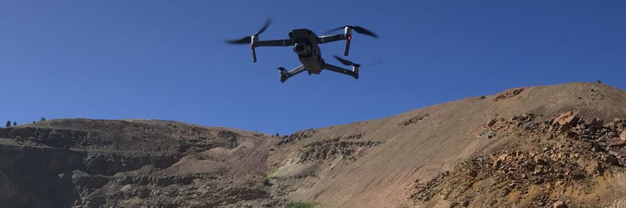
Autonomous Drone Surveillance
As sub-contractors to a private company on a DoD grant, we created Python code using the DroneKit API to autonomously fly our quadcopter to a given latitude/longitude and circle. This location was specified based on suspicious activity. The code and DroneKit could easily be repurposed for a variety of projects.
